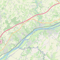
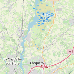
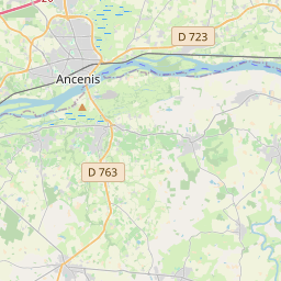
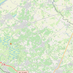
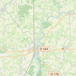
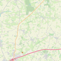
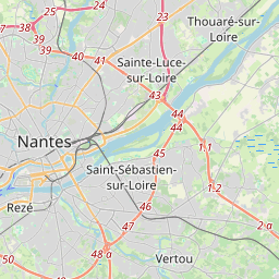
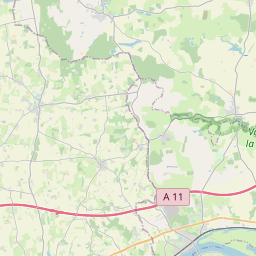
# Popup on geometry
Leaflet | © OpenStreetMap contributors
show code
<template> <div> <l-map :zoom="zoom" :center="center" style="height: 500px; width: 100%" > <l-tile-layer :url="url" :attribution="attribution" /> <l-circle :lat-lng="circle.center" :radius="circle.radius" > <l-popup content="Circle" /> </l-circle> <l-rectangle :bounds="rectangle.bounds" :color="rectangle.color" > <l-popup content="Rectangle" /> </l-rectangle> <l-polygon :lat-lngs="polygon.latlngs" :color="polygon.color" > <l-popup content="Polygon" /> </l-polygon> <l-polyline :lat-lngs="polyline.latlngs" :color="polyline.color" > <l-popup content="polyline" /> </l-polyline> </l-map> </div> </template> <script> import { LMap, LTileLayer, LCircle, LRectangle, LPolygon, LPolyline, LPopup, LTooltip, } from "vue2-leaflet"; import { latLng } from "leaflet"; export default { name: "PopupGeometryTest", components: { LMap, LTileLayer, LCircle, LRectangle, LPolygon, LPolyline, LPopup, LTooltip, }, data() { return { zoom: 11, center: [47.31322, -1.319482], circle: { center: latLng(47.41322, -1.0482), radius: 4500 }, rectangle: { bounds: [[47.341456, -1.397133], [47.303901, -1.243813]], color: "red" }, polygon: { latlngs: [ [47.2263299, -1.6222], [47.21024000000001, -1.6270065], [47.1969447, -1.6136169], [47.18527929999999, -1.6143036], [47.1794457, -1.6098404], [47.1775788, -1.5985107], [47.1676598, -1.5753365], [47.1593731, -1.5521622], [47.1593731, -1.5319061], [47.1722111, -1.5143967], [47.1960115, -1.4841843], [47.2095404, -1.4848709], [47.2291277, -1.4683914], [47.2533687, -1.5116501], [47.2577961, -1.5531921], [47.26828069, -1.5621185], [47.2657179, -1.589241], [47.2589612, -1.6204834], [47.237287, -1.6266632], [47.2263299, -1.6222] ], color: "#ff00ff" }, polyline: { type: "polyline", latlngs: [ [47.334852, -1.509485], [47.342596, -1.328731], [47.241487, -1.190568], [47.234787, -1.358337] ], color: "green" }, url: 'https://{s}.tile.openstreetmap.org/{z}/{x}/{y}.png', attribution: '© <a href="http://osm.org/copyright">OpenStreetMap</a> contributors' }; } }; </script>Copied!